Upton State Forest, MA
Upton State Forest
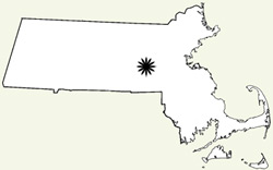
Hopkington, Massachusetts
No fees
Activities: hiking, biking, horse back riding
Features: CCC buildings, trails, pond
Habitats: New England secondary forest types, wetlands, streams, pond
The park is a mix of upland forest and wet habitats (swamp, stream, pond, and seasonal wetlands). Upton State Forest is made up of a number of land parcels and totals 2660 acres. The property includes land in the towns of Upton, Grafton, Hopedale, Hopkinton, Mendon, Northbridge and Westborough.
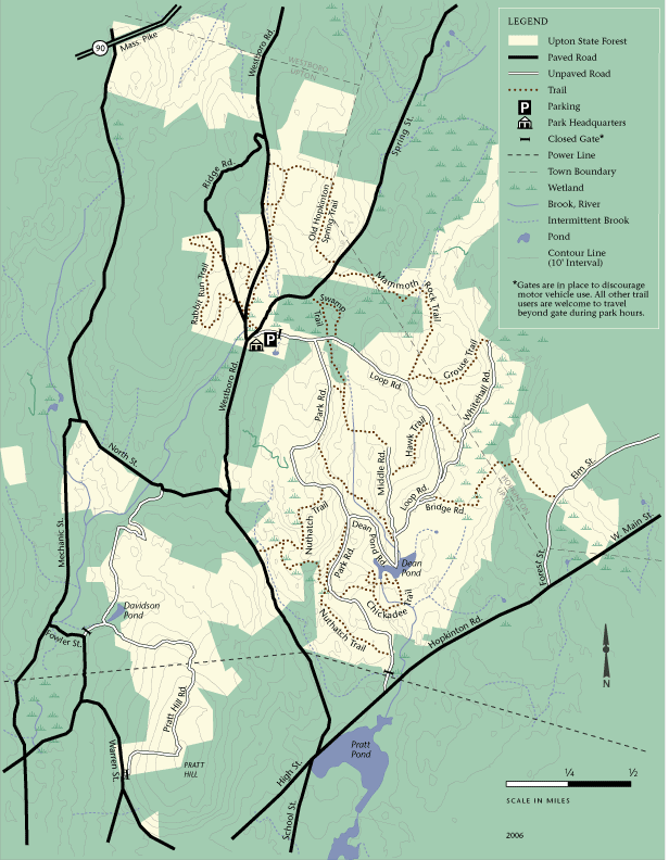
The main access to the forest is centered on the headquarters area that is found off of the intersection of Westborough and Southborough Roads in Upton. There is a place to unload horses, see historic CCC buildings and access some of the most well used forest trails. A small parking lot is found at this location.
Video of an Upton State Forest Trail
Forest and Trail Map
Printable PDF version of the Upton State Forest Map
More Public Land Journal field reports from Massachusetts public lands:
High Ledges Wildlife Sanctuary
Horesneck Beach State Reservation
Laughing Brook Wildlife Sanctuary
Other Massachusetts outdoor resources
Find other Massachusetts Public Lands
- Land Unit:
- State: